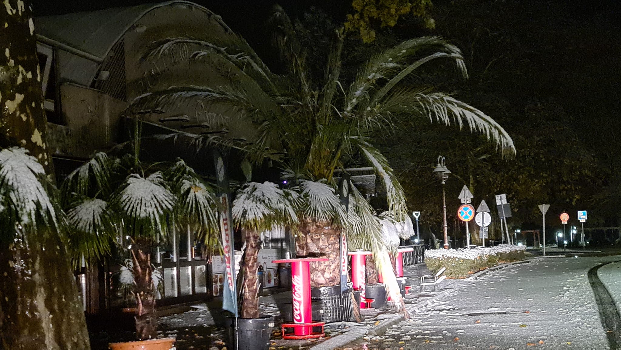
Snow covered Hungary this morning! – PHOTOS, VIDEOS

Change language:
Even though September and October were dry and mild, it seems winter arrived earlier in Hungary this year than meteorologists forecast. The edge of a Mediterranean cyclone reached Hungary last night and this morning, bringing lots of precipitation. Some regions will see that in the form of snow.
Snow-covered Hungary: here are some photos
According to HungaroMet, the cyclone’s edge that was formed above Germany and Austria arrived with strong winds. In a post yesterday, they predicted 30-60 km/h breezes, but in Békés and Csongrád-Csanád counties, their speed may reach 70-90 km/h. For today, they forecast windy and cloudy weather with lots of precipitation. They added that mainly in the northern and northeastern parts of the country, it will fall in the form of snow. The biggest amount of snow is expected in the Mátra and Bükk mountains.
According to their morning report, it snowed in the Transdanubian Mountains, Budapest, and the North Hungarian Mountains, while rain and sleet dominated the Kisalföld region and the southern counties. A thicker layer of snow can be found in the higher areas of the northern and northeastern regions.
Index.hu wrote, based on HungaroMet, that the maximum thickness is expected to be between 3-10 centimetres. Above 2-300m, 10cm of snow cannot be excluded. According to the state-owned company, on Friday, the temperature will be between 0 and 6 degrees.
Driving in snowfall – M7 motorway:
Another video from Sopron:
Saturday will be mostly sunny, but in the eastern regions, there can be flurries. The maximums will be between 0 and 7 degrees, minimums around -6 and 0. Sunday will also be sunny, but clouds will cover the northern regions. The chance for precipitation is low. The minimums will be the same as on Saturday, but maximums will be higher between 4 and 11 degrees.


HERE is a Reels video about the snowfall in Budapest. It is truly remarkable.
Read also:


