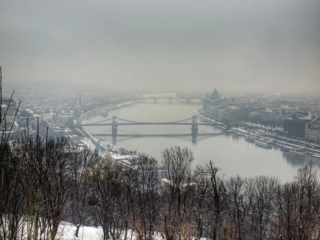
weather

Spring arrives at Christmas in Hungary – MAP
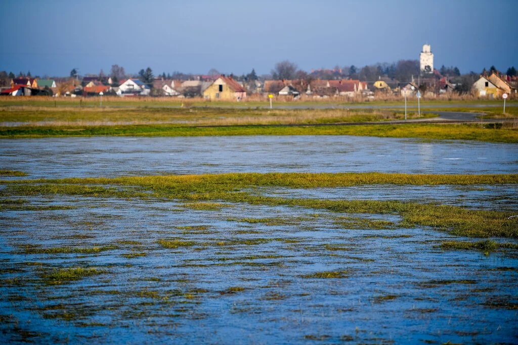
Spring Hungary

Baby Jesus may bring a new temperature record in Hungary, the Hungarian Meteorological Service (OMSZ) wrote in a Facebook post. Below you may read the details.

OMSZ said that today, a cold front arrived in Hungary. And the strengthening Northwestern winds will mix the air, so the temperature may start to increase significantly.

The national temperature record for Christmas was in Békéscsaba, Southeast Hungary, in 1958 (17.7 °C). However, the Budapest record may be in danger. That was measured in 1958, too, but the thermometers showed “only” 12.5 °C then. Today not only in the neighbourhood of Budapest, but also in other parts of the country can be temperatures above 10 °C. Below you may check out the temperature map of the OMSZ:
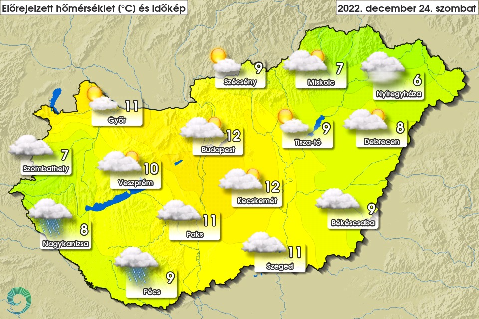
Temperature Hungary
The expected temperature in Hungary today. Photo: facebook.com/orszagosmeteorologiaiszolgalat

OMSZ said that yesterday, spring arrived in the Southwestern regions of Hungary. In Letenye, for example, the thermometres showed 15 °C. Today, Northwestern winds will be stronger in the Northern parts of the country. Gusty winds are expected only in the Northern mountains.

Common lilac started flowering in Hungary yesterday:

This is the temperature map of yesterday. Today will be warmer:

Időkép says that the Sunday will be foggy, but we will see the sun during the day for longer-shorter periods. Temperature will be between 5-11 °C, and rains will not be likely. On Monday, fog will remain in the North. But in the South, the day will be sunny. Rains are expected only in the eastern regions. By afternoon, the temperature may rise to 5-15 °C. On Tuesday, a cold front will arrive in Hungary with rains and gusty Northwestern winds. The temperature will be between 5 and 10 °C.

Read alsoSurprising weather for Christmas in Hungary

Surprising weather for Christmas in Hungary

Snowfall is not expected in Hungary at Christmas, so we have to ditch our plans to go sledging or snowballing. However, temperatures will rise a little, so there will be no need to turn our heaters to the max. On the weekend, we can even venture outdoors and get some Vitamin D. 

Sadly, there will be no white Christmas this year. Instead, rainfall is expected on the 24th, which is said to be heavier in the morning. The afternoon will see mild, predominantly dry weather. Saturday will have highs around 10 degrees, but nowhere below 6-7 degrees. There will be no clouds at night, so we may enjoy a bit of stargazing.

On 25 December, we will have a chance to soak up some sunshine, although it will be slightly cooler in the morning. In the afternoon, we can expect pleasant weather with temps between 8 °C and 10 °C. Similar weather is forecast for Monday 26 December. However, in the northeastern part of Hungary, showers and even strong gusts of wind can occur.
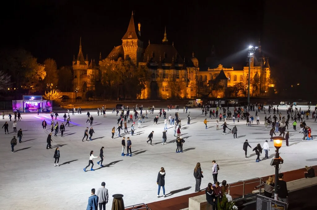
According to the National Meteorological Service, the weather will likely cool down in the middle of next week, but the days between Christmas and New Year’s Eve look a lot drier, rtl.hu reports.

Read alsoWinter in Budapest: Normafa snowsports, new Light Curtain Tram

Weather will go crazy in Hungary before Christmas

Budapest downtown Danube liveable December

Many Hungarians dream about celebrating Christmas and New Year’s Eve in snowfall, but a white Christmas has been a rare phenomenon recently, except for the mountainous areas. Meteorologists talked about one scenario in early December that would have resulted in a snowy year-end. However, the possibility of that decreases every day. Instead, experts say we should prepare for something unexpected in the coming days. Below you may read the details.

According to the Hungarian Meteorological Services (Országos Meteorológiai Szolgálat), Wednesday will be cloudy, foggy and wet. Rains will be common in the plains, while Alpokalja, West Hungary, and the country’s northern regions will experience freezing rains. The daily temperature will rise to 0-5 °C. Thankfully, the night will not be as cold as before. Thermometres will show -2 and +3 °C.

Based on Időkép, on Thursday, freezing rains will rule Transdanubia. The day will be like Wednesday: rainy, cloudy, foggy and humid. Rains will be scarce, and winds will get strong only in the Transdanubia. However, the daily maximums will reach even 11 °C in the southeastern areas.

Friday is expected to be windy, while fog and moisture will remain in the eastern and northeastern counties. Rains are unlikely, and the daily maximums will be between 5 and 13 °C.

On Saturday morning (24 December), rains will occur in the southern and southwestern regions. North Hungary will get to enjoy some sunshine, but winds will be strong in the north-northeastern areas. The night will be frost-free, while in the afternoon, the temperature will increase to 7-13 °C, which is almost springlike. The mild weather will remain even after Christmas Eve, Időkép forecasts.

The Hungarian Meteorological Services agrees with Időkép on most points, saying that the warmer weather may remain even until Tuesday. According to their weather forecast, the maximum temperature will decrease to 3-11 °C only next week. However, the nights will remain frost-free in the lowlands with temperatures above freezing point.

Air Pollution Quality
Read alsoDangerous air quality in several Hungarian cities

Meteorologists: Christmas in Hungary will see radical weather change

Weather Hungary snow

Previously, some calculations showed a scenario that might have resulted in extensive snowing around Christmas in Hungary. However, it seems that the weather in Hungary will radically change until 24 December, when Baby Jesus brings presents under the Christmas trees set up in every Hungarian home. Below you may read what the meteorologists now predict.

According to Időkép, one of the most precise Hungarian weather forecast websites, the weather will turn milder next week. Snow will remain only in the country’s Northern regions, but by Christmas, it will melt even there. Thus, there is no chance for a white Christmas in Hungary, based on the news outlet.

As we reported yesterday, Hungary’s weather will go a bit crazy. Yesterday, temperature rose even to 15 °C in some regions, while on Sunday, Monday and Tuesday, minuses and frost will return to the country.

Below is the temperature map of yesterday. You may see that, in Vas county, near the Austrian border, there was 0 °C. Meanwhile, around Szeged in Southeast Hungary, the temperature increased to 15 °C.

However, after that extreme cold period, milder weather will come from the Southwest. First, they will conquer the higher regions of the atmosphere, but by mid-week, they will rule even the ground.

The cold will persist in the country’s Northern regions covered by snow momentarily. Furthermore, on Friday night, there was some snowfall in the Western counties. However, elsewhere, the chance of having a white Christmas dwindled considerably, and the snow will probably melt even in the North and West parts by next Saturday.

Based on the latest calculations, 24 December and 25 December will see mild, early spring weather in Hungary. Of course, calculations still contain some uncertainties, but most models agree with the big trend.

Do you want to have a lot of snow for Christmas? That can make life hard. Here is a video from England:

Snow arrived in Hungary
Read alsoPHOTOS, VIDEO: Snowfall arrived today in Hungary covering several cities!

Weather in Hungary to go completely crazy with heat, lightning and snow – weather forecast

budapest tram 2 winter

The weather will go completely crazy in Hungary on Friday. Temperatures in most parts of the country will be between 9 and 15 degrees Celsius. Strong gusty winds, sleet, and snow are expected in several places. Read on for our weather forecast.

A Mediterranean cyclone will shape the weather in the next few days, Index reports. Warm and then cold air masses will arrive over the country, which will be accompanied by heavy rainfall. On Friday, the skies may turn cloudy in places, especially in the south of the country, Időkép writes.

The National Meteorological Service has issued a warning for thunderstorms and sleet. Lightning, winds and hail are expected in Baranya, Bács-Kiskun, Békés and Csongrád-Csanád counties. A first level warning is in force for Heves and Nógrád counties for torrential rain, while a second level orange warning is in force for Borsod-Abaúj-Zemplén county.

Friday, 16 December

The sky will be generally cloudy or overcast, becoming more scattered in the south and east. The band of continuous precipitation will move away to the northeast, with scattered showers behind it and a higher chance of thunderstorms in the southern and eastern counties. From the evening onwards, snow showers may occur in the north-western parts of the region, with a chance of temporary sleet in the Transdanubian hills. Daytime highs will be between 2 and 8 degrees Celsius in the north and northwest of the country, and between 9 and 15 degrees Celsius elsewhere.

Saturday, 17 December

Heavy clouds or overcast, with a distinct decrease in clouds from the northwest from midday. In the eastern and north-eastern parts of the country, clouds may remain cloudy throughout. The change of accumulation from the northwest will continue, resulting in increasing snowfall over a larger area and a gradual decrease in precipitation intensity. Sleet may occur temporarily during the change of state. During the day, snow showers are likely in the Transdanubian region, and snowfall in the eastern part of the country along the aforementioned confluence zone. Winds will begin to moderate from the evening hours. The minimum will be between -3 and +4 degrees, the maximum between -2 and +5 degrees, with milder weather in the southeast.

Sunday, 18 December

Lightly cloudy, sunny skies are likely, but cloudy skies may persist in smaller areas. Snow showers may occur in these areas, but precipitation is unlikely elsewhere. In the evening, clouds will begin to increase from the west. Mostly moderate air movement. Overnight lows will generally be between -8 and -2 degrees Celsius. However, it will be much colder in less cloudy, snow-covered areas. Daytime highs will be between -4 and +2 degrees, met.hu reports.

Monday, 19 December

There will be an increase in mainly high level clouds, resulting in mostly medium to heavy clouds. Significant precipitation is unlikely. Mostly light to moderate winds from the southeast to east. At dawn, temperatures will be generally -8 to -3 degrees, but could be several degrees colder in snow-covered areas. In the early afternoon, -3 to +4 degrees is likely.

Tuesday, 20 December

Mostly partly to moderately cloudy weather is expected. Significant precipitation is unlikely. Generally, southeasterly winds will remain light to moderate. Minimum temperatures will be mostly between -8 and -1 degrees. Temperatures will warm up to between 0 and +5 degrees in the afternoon.

Wednesday, 21 December

Mostly partly cloudy weather is expected. Winds from the south, southeast will remain mostly moderate. Minimum temperatures will be between -9 and +1 degrees Celsius. In the afternoon, the air will warm up to between 0 and +9 degrees.

stuffed cabbage töltött káposzta
Read alsoRecipe: Traditional Hungarian stuffed cabbage for the Christmas table

It will be much colder in Hungary than previously thought! – UPDATED, PHOTOS

Cold winter snow Hungary

We reported earlier that Hungarian meteorologists expected this week to be one of the coldest of the year, bringing temperatures as low as -10 °C. However, it seems their predictions were not entirely precise. According to the latest forecasts, it will probably be colder in the coming few days in Hungary.

West Europe has been hit by a harsh cold snap. Press wrote that last night Scotland saw lower temperatures than Iceland. Furthermore, many Hungarians remained stranded in the United Kingdom due to the extreme cold, windy and stormy weather as planes could not take off. We published the story of the more than 100 Hungarian aircraft passengers who were left in London by Ryanair and received no information or help, based on the report of the Hungarian Bors tabloid.

However, it seems that the weather will turn even more extreme than previously forecasted in Hungary. According to Időkép, in the northern regions of Hungary, protected from winds and blanketed by a thick layer of snow, temperatures may go below even -15 °C during the next two nights.

By Tuesday morning, the cold, Arctic air that rules the Carpathian Basin will chase away the clouds and lessen the winds. As a result, the heat radiation will grow significantly, so Hungary will freeze down. Temperatures will be between -4 and -10 °C countrywide. However, the mountains and the northern regions will experience even frostier conditions.

Today morning temperatures on map:

The coldest regions will be the Borsod and Nógrád areas, where thermometres in some places will show -15 °C. By Wednesday dawn, clouds will grow thicker in Southwest Hungary. But in the first part of the night, there will scarcely be any clouds above Hungary, so in the northern regions, the temperature will remain below -15 °C.

Thankfully, from Thursday on, warmer and more humid air will arrive in the Carpathian Basin. The lowest temperature will be around -5, -6 °C.

444.hu compiled a list of settlements in Hungary where the weather was the coldest last night. They wrote that last night was the frostiest in Hungary this year. The lowest temperature was measured in Borsod County, in Gagybátor (-15.3 °C). That was followed by Hidasnémeti (-13.1 °C), Lénárddaróc (-12.7 °C), Bánréve (-12.7 °C), Edelény (-12.5 °C), Zabar (-12.3 °C), Hídvégardó (-12 °C), Szikszó Waterworks (-11 °C), Fertőrákos (-10.7 °C) and Jósvafő (-10.6 °C). All of the above settlements are in Nógrád and Borsod-Abaúj-Zemplén Counties except for Fertőrákos, which is close to the Austrian border in West Hungary.

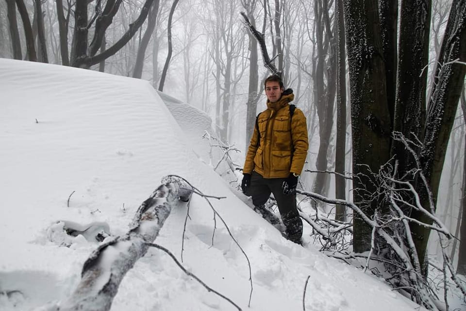
Finally, here are some photos from the Mátra:

Kiskunság (Hungarian Great Plains):

Nyíregyháza, Northeast Hungary:

PHOTOS: record-breaking precipitation in East Hungary, cars sunk in water

Record-breaking precipitation in East Hungary

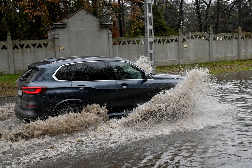
The Mediterranean cyclone raging over Hungary for days produced 40-50 mm of rain in East Hungary in just 24 hours. As a result, water flooded the streets of several Hungarian municipalities, and cars sank in the sea-like puddles accumulated in parking lots and squares. Below you may check out some photos.

The Mediterranean cyclone, breaking into Hungary weeks before, covered the higher, mountainous regions, West and Northeast Hungary with a beautiful white blanket. However, in the Eastern territories of the Hungarian lowlands, extensive rains took place in the last 24-48 hours, Időkép wrote.

In some places, the amount of precipitation was record-breaking and more water came down in just one day than the December average, which is 40 mm.

Here are some photos:

According to a statement from the National Directorate for Disaster Management (BM OKF), they had more than 300 emergency calls because of the strong winds and tremendous rain last weekend. Citizens phoned mostly because of fallen trees and damages due to the showers. The number of calls peaked in Borsod-Abaúj-Zemplén County, but colleagues in Veszprém and Fejér were on constant high alert too, BM OKF wrote on their official Facebook page.

Here are some additional photos:

Brace yourselves – this week to be one of the coldest of this year

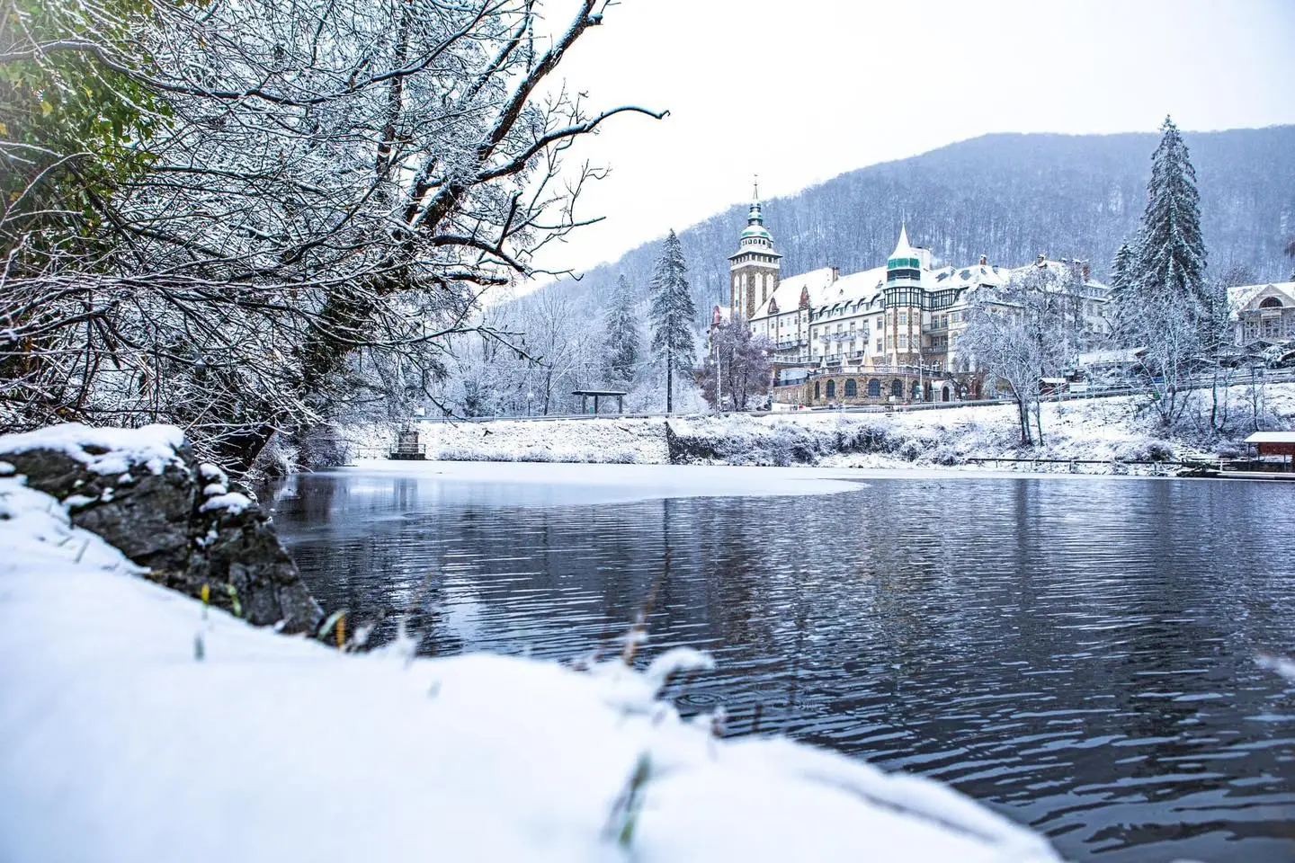
Lillafüred snow Hungary cold snowfal

The beginning of next week will be extremely cold. Temperatures would reach historical lows, the Hungarian Meteorological Service (OMSZ) said in their latest weather forecast. Thus, you should bundle up in your warmest winter attire if you need to leave home. Furthermore, Hungary’s gas consumption will probably peak next week, but the government highlighted several times that the country had enough gas stored for the winter, even if the temperatures drop to minus degrees. Below you can read the weather forecast of the OMSZ.

According to the latest forecast of the Hungarian Meteorological Service they sent to the Hungarian News Agency, next week will be freezing cold in Hungary, with temperatures reaching even – 9 °C in some regions. Furthermore, daylight highs will not exceed 0 °C, so everybody should get their mittens and thickest winter coats ready.

Based on the OMSZ, we should expect a mainly sunny Monday except for Northeast Hungary, where snowing and snowdrifts might occur. Daily highs will be between -2 and +3 °C.

On Tuesday, the early morning will bring extra cold weather and frost. The temperature will go below -9 °C in some regions, but it will not be over -3 °C even in the warmest areas. In the daytime, the temperature will be between -3 and +3 °C. At Wednesday dawn, frost will rule Hungary again, cooling the air to -9 °C in the coldest areas. The day will be warmer, with temperatures between -3 and +4 °C.

On Thursday morning, the lowest will be -7 °C, but the temperature fluctuation will be considerable since early afternoon, it may rise to +7 °C. That may have a harsh effect on people sensitive to weather changes. On Friday morning, the weather will warm up a little, yet temperatures will not go below -4 °C. In the daytime, temps will reach even +9 °C. In the southern regions, however, the highs will be around +13 °C, creating a springlike feel.

On Saturday, a new cold front will arrive in Hungary, causing temperatures to range between -2 and +2 °C. As a result, on Sunday morning, the air may cool down to frosty -9 °C again.

Here are some photos and a video about the Saturday/Sunday snowfall in Hungary:

Miskolc
Miskolc. Photo: facebook.com/metkep.met

Mátra snow
In the Mátra. facebook.com/metkep.met

First countrywide intensive snowfall to arrive today in Hungary, authorities on alert – MAP

Snowfall in Hungary

The first countrywide snowfall of the 2022-2023 winter season is expected to arrive in Hungary today evening and tomorrow morning. Meteorologists say that 10-15 cm of snow will fall in the higher areas of the Alpokalja (feet of the Alps, West Hungary), the Bakony Mountains and the North Hungarian Mountains.

Hungarian Public Roads (Magyar Közút), the company responsible for the operation and maintenance of nearly 32,000 km of national roads, promised they would do everything they could to carry out all the prevention works, including salt solution spraying. Therefore, they mobilised all crew available, portfolio.hu wrote.

However, they admitted car owners should prepare for winter driving after intensive snowfall in North Transdanubia and Bodrogköz. Strong winds may reach 70-75 km/h speed on Saturday night. Based on the Hungarian Meteorological Service’s forecast, intensive snowfall will appear in the Alpokalja, Bakony Mountains and Borsod-Abaúj-Zemplén county from Saturday night. On Sunday, the rain will transform into snow in more places, but the amount of precipitation is expected to decrease significantly.

A thick layer of frozen vapor is expected to be in the higher mountainous areas of Hungary. Furthermore, fresh snow may reach 6 cm in the Western and Northeast regions of the country. Moreover, on Sunday night, even 5 cm of snow may fall on the Ózd-Békéscsaba line.

Here is a map of what you should expect in the next 24-48 hours in Hungary regarding snow. In the green areas snow may fall but it will not remain on the ground.

The Hungarian Public Roads said they prepared all their snowblowers in the counties affected by the intensive snowfall on Friday. They added they placed de-icing materials on the main roads to prevent the stick of fresh snow on the roads. However, the effectiveness of that measure will probably be impaired because rain will turn into snow and ice in most regions.

Professionals will clean snow and de-ice the main roads in the first place. Afterwards, they will move to the busy supplementary roads. The company cleared it might happen a snowblower will only arrive in a snowy spot in 4 hours. In places affected by intensive snowdrifts, however, they are powerless until the weather calms down.

Featured image: Snowfall in Zalaegerszeg, the first in Hungary this winter on 2 December.

Brutal cold is to come in Hungary, snow will cover huge territories

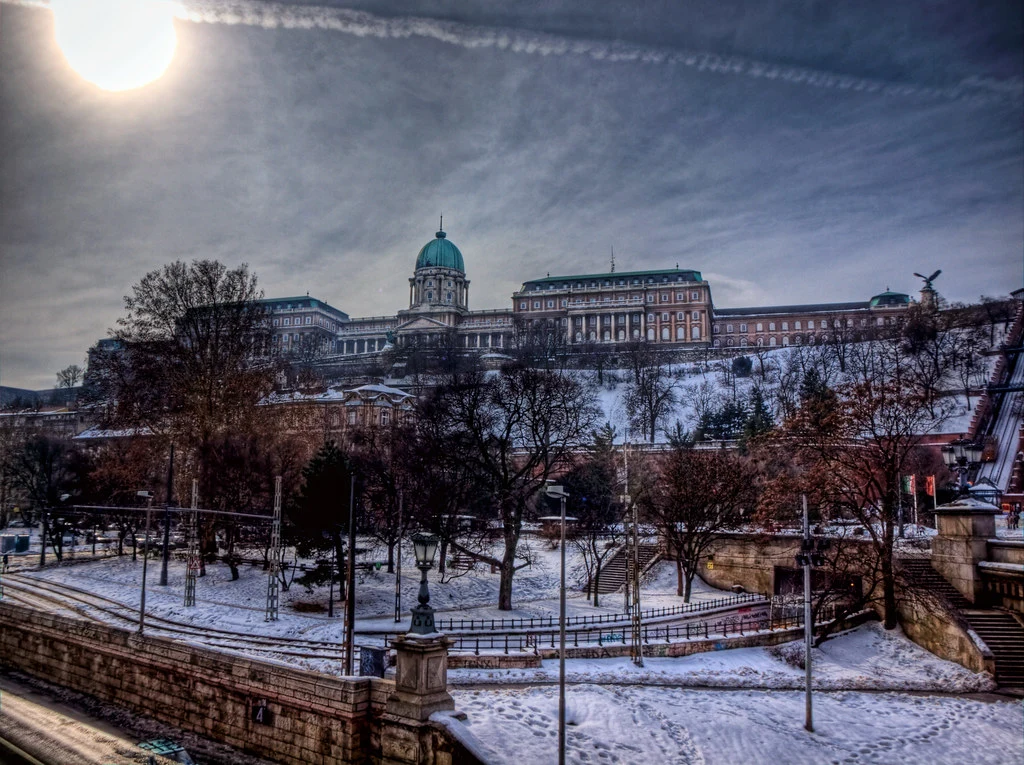
Budapest Buda Castle Palace winter snow

The weather in Hungary will turn from late autumn to cold winter from Sunday, based on the latest forecast of the Hungarian Meteorological Services.

Currently, a Mediterranean cyclone is ruling over Hungary, making the weather wet with a lot of rain. However, the situation will change significantly from this Saturday night and Sunday morning. Winter cold is to arrive everywhere in the country regardless of how many metres it is above sea level.

Based on a forecast from the Hungarian Meteorological Services, a cyclone coming on Saturday evening will “drag down” the cold, arctic air masses northwest of Hungary. That air will occupy the Carpathian Basin in just a couple of hours.

As a result, the rains caused by the Mediterranean effect are expected to transform into heavy snowing in huge territories from Sunday morning. However, the precipitation will decrease gradually as the Mediterranean cyclone leaves Hungary. Therefore, the territory snow may cover in Hungary significantly varies in the different models. It depends on how long cold air and precipitation will overlap. That also means the snow will not remain for long on Sunday in most places. But there is a chance that white will cover everything when people wake up in many places in Hungary on Sunday morning.

Cold air will arrive with strong and stormy winds. Thus, snowdrifts may occur in several places.

Furthermore, the Arctic air will bring frosty nights. Moreover, the temperature will not rise above 0 °C during the days. It will be cold, so you should wear your coat, scarf and hat, provided you plan or need to go outside.

From the middle of next week, the uncertainty of the forecasts increase. But meteorologists do not expect the weather to become milder. However, the possibility of precipitation will surge.

Winter weather to arrive in Hungary next week! – weather forecast

budapest tram 2 winter

Due to a Mediterranean cyclone, it could get colder in the coming days. Winter could arrive across the country by early next week.

For the weekend, the Mediterranean cyclone will bring precipitation. But from Sunday onwards, colder air may arrive on the back side of the cyclone, so snowfall is possible, reports Időkép. Based on the latest model calculations, the portal notes that real winter weather is getting closer. Behind the cold front, temperatures will drop by a few degrees by mid-week. What is more, mornings will be frosty in several places.

Wednesday, 7 December

The layer clouds will shrink and visibility will gradually improve. With variable amounts and thickness of clouds, more sunshine is expected in the north and less in the south. Significant precipitation is unlikely. West, northwest winds in the northern counties may be accompanied by strong gusts. Daytime highs will be between 3 and 9 degrees Celsius, with higher temperatures in less cloudy areas, met.hu reports.

Thursday, 8 December

At night, fog may form in several places. Clouds will start to increase from the southwest. Before that, the sun may shine for a few hours in the northeast. Scattered drizzle and light rain are expected. Occasionally, gusty easterly winds can be experienced. Temperatures in the morning will be -6 to +3, early afternoon 2 to 6 Celsius degrees.

Friday, 9 December

The weather is expected to be mainly overcast, with only temporary thinning and breaks in the cloud cover. Rain and showers are expected in many places. Winds from the southeast and south will become stronger in many places. -3 to +4 degrees Celsius at dawn, 3 to 14 degrees Celsius in the early afternoon, colder in the northeast, milder in the southeast.

Saturday, 10 December

The sky will be overcast. Rain and showers are expected in many places, with a chance of snow and sleet increasing in the Alpokalja region (Western Hungary). In the Transdanubian region, winds may become stronger. Minimum temperatures will be between 2 and 9 degrees Celsius, maximum between 3 and 14 degrees Celsius, with lower temperatures in the northwest and higher in the southeast.

Sunday, 11 December

The sky will be overcast, then clouds will start to break up and decrease during the day. Precipitation is expected in many places: rain in the west will be replaced by snowfall, and then precipitation will start to decrease. Temperatures may rise from 0 to +8 degrees Celsius in the morning to between 1 and 12 degrees Celsius, with the eastern counties being the warmest.

Monday, 12 December

It will be mostly cloudy with moderate to heavy clouds. Towards the east, the precipitation zone will move out of our country. Behind it, snow showers may develop in places. Winds from the northwest and west may become stronger in many areas. At dawn, -8 to +1 degrees Celsius can be expected, with cooler spells in places covered by snow and shaded by wind. In the early afternoon, the thermometer will read -2 to +3 degrees.

ski winter
Read alsoHungarian ski resorts that will stay closed

Dangerous air quality in several Hungarian cities

Air Pollution Quality

Air quality is dangerous in Sajószentpéter, Kazincbarcika and Putnok, in north-east Hungary, due to a high concentration of airborne particles, the National Public Health Centre (NNK) said on Monday.

NNK declared air quality to be “unhealthy” in Miskolc too.

Concentrations of particles are also considered to be too high in twelve other localities, including Budapest, Székesfehérvár, Kecskemét, Szeged, Debrecen and Nyíregyháza, NNK said.

Forecasts show air quality is expected to improve thanks to a front bringing rain on Tuesday.

PHOTOS, VIDEO: Snowfall arrived today in Hungary covering several cities!

Snow arrived in Hungary

We wrote earlier that this week would be the first with intensive snowfall on the lowlands. Weeks before, snow arrived in the mountains in Northeastern and West Hungary, creating a 20-30-centimetre thick layer in the Kőszeg mountains, near the Austrian border. However, this morning, powder snow arrived in several Western Hungarian cities, including Zalaegerszeg, Szombathely and even Pápa. You may find further details in our article below. Do not forget to check out our videos and photos!

According to Időkép, intensive snowfall arrived in the Western regions of Hungary this morning. The meteorological news website added that the snow would probably remain in the colder valleys.

As we wrote before, a Mediterranean cyclone carries the precipitation. That is why it is raining in many places in Hungary, and snow surprised the residents of some Western Hungarian settlements.

That was the first time frozen vapour fell in the lowlands in Hungary this autumn and winter. Before, that happened only in the higher mountains of the Kőszeg and Sopron mountains, where the snow layer was 20-30 centimetres thick last week. Here is a photo from Telekes, Vas county, Western Hungary.

Here is the video sent by a reader of Időkép recorded earlier this morning:

Here is a video from Veszprém:

Snow covered Szentgotthárd (a town near the Austrian-Hungarian border), Zalaszabar, Zalaegerszeg, Hosszúpereszteg, Torony and Nagylengyel.

HERE you may check out the webcam of Kétvölgy, a small village near the Slovenian-Hungarian border. There, the snow has not melted yet. However, Időkép writes that except for the higher mountains and protected valleys, snow will disappear. They added that people living in the Northern regions of Hungary’s Transdanubia and Northeastern Hungary should expect sleet, which is mixed rain and snow.

Időkép revealed the chances of a white Christmas in Hungary – PHOTOS

Budapest winter

Időkép, one of the Hungarian weather forecast media outlets, revealed the chances of a white Christmas in Hungary. Computer simulations show two scenarios, and one of them can mean that there will be intensive snowfall on 24 December. In Hungary, white Christmas has been a wish for most people for years. Almost a decade has passed without snow on the celebration of Jesus’s birth.

Időkép clears at the beginning of their article that there is almost one month until Christmas and forecasts are highly unreliable for such a long term. However, they added some scenarios are already more probable than others.

In the first days of December, a massive anticyclone over Russia will move to the West. That will cause high air pressure over North Europe. The phenomenon will be helped by another anticyclone born over Greenland. These two anticyclones will block warmer and moist air masses, forcing them South to the Mediterranean.

Most computer simulations show that high air pressure will rule Europe’s North and Northwest regions. Furthermore, in the next half of next week, stratospheric warming may start further strengthening that effect.

The different weather forecast models’ variation is still considerable, but the probability of the two scenarios is higher than other options.

If the high-pressure zone does not move too Southward, it may enable cyclones to enter the Western zones of Europe. That may result in spring-like Christmas weather in Hungary with rains but no snowfall.

However, if the stratospheric warming is strong enough to help the anticyclone get bigger, Hungary and the Carpathian Basin may be in its “cold zone”. In that case, Mediterranean cyclones could enter and create a thick layer of snow everywhere in Hungary. That would mean a white Christmas Hungarians have been waiting for for so long.

In the Kőszeg mountains of West Hungary, snow arrived last week. Below you may find some astonishing photos:

VIDEOS: intensive snowfall arrived in Hungary

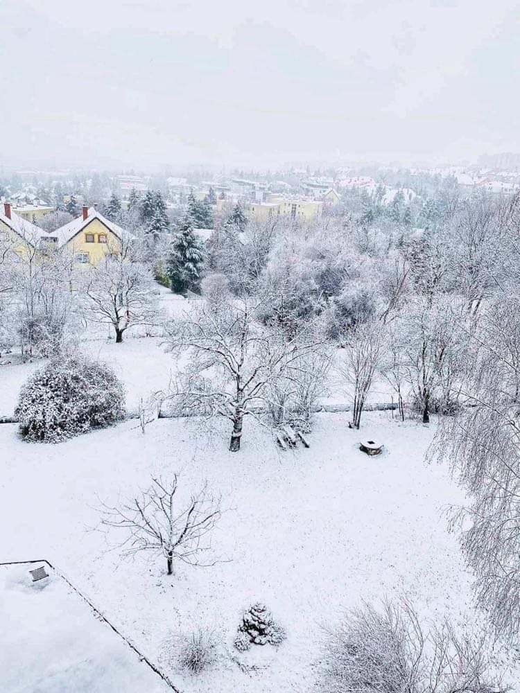
Snow winter Hungary

By dawn, the snow layer was 10 centimetres thick in some areas of two West Hungarian counties. Furthermore, meteorologists expect more snow to come in those two regions. We can say that winter has arrived in Hungary.

The meteorologists of Időkép, a Hungarian weather forecast website, travelled to the Kőszeg Mountains in West Hungary to witness this winter’s first intensive snowfall in the country. Their mission was successful by this dawn, the white layer exceeded 10 centimetres.

The precipitation was brought by a Mediterranean cyclone, which met the cold air ruling the upper regions of the Kőszeg Mountains. Thus, the rain transformed into snow above 500 metres. The Kőszeg Mountains’ highest point is the Írott-kő (literally ‘written stone’), with a height of 884 metres.

They shared two videos made south from Kőszeg of the white paradise you may check out below. The person who shot it said the snow was sticky because the temperature was close to freezing point.

Here is another video:

In THIS article, you may find some additional photos. The meteorologists said there were showers in every region of Hungary, but in the higher regions of the West mountains, they turned into snow. In some parts of the Kőszeg Mountains, the snow is so sticky that it breaks the branches of the trees.

The Hungarian Meteorological Services (OMSZ) said that the precipitation today in Hungary would reach 20 mm. In some places, more than 30-35 mm may fall.

They added that snow fell in the Alpokalja above 300m this morning.

AccuWeather expects the snow to arrive in Budapest by 22 and 23 December. Thus, there is a chance for a beautiful and long-awaited white Christmas.

AccuWeather’s exciting forecast: here is when snow will arrive in Budapest

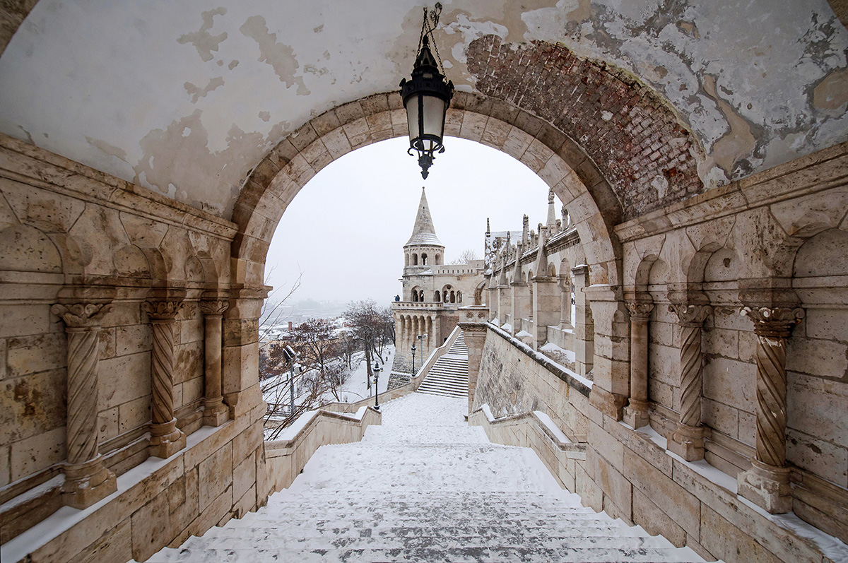
Budapest Winter Snow Halászbástya

AccuWeather shared when snow will arrive in Budapest and added there would be snowing for two consecutive days in the country’s astonishing capital. We’ll continue with the details below.

Budapest is astonishing in all four seasons, but winter is an especially good choice for coming here. First, there are baths and pools where everybody can relax and find refreshments for both spirit and body. Second, we have to mention the Christmas markets in the capital. Some of them opened last week and even though the price rise compared to 2021 is significant, the experience is unrivalled.

Third, multiple ice rinks help to preserve your fitness even when temperatures are low. Some of them are in the most spectacular downtown areas. One is near the Danube River, while another is in front of the Vajdahunyad Castle in the City Park Ice Rink. The Travel magazine chose the latter as one of the world’s best.

Of course, the top of all is if you can spend a day in snowfall in the romantic Budapest downtown or the Buda Castle and you may have a chance to do that soon.

Ice Rink Budapest City Park
Read alsoPHOTOS: Budapest’s City Park Ice Rink chosen one of the world’s best

According to the latest forecast from AccuWeather, snow will arrive in Budapest in weeks, and it will fall for two days consecutively. One of the biggest forecast websites said Budapest would see this year’s first snow on 22 and 23 December. Thus, we may have the long-desired white Christmas this year in Hungary.

They added temperatures would be between -4 and +2 °C on Christmas Eve, ripost.hu said.

If there is ice on St Martin’s Day, Christmas will be muddy, the Hungarian folklore tells about winter, snow and Christmas.

Nők Lapja Café said that on Wednesday morning that the snow layer in Hungary’s Western and Northeastern mountainous regions might reach 20 cm. Wednesday will be a rainy day everywhere in Hungary, but snow is expected only in the high mountains of Alpokalja, Bakony and the North Hungarian Mountains (Északi-középhegység). The greatest snowfall will probably be in the Sopron and Kőszeg mountains, so they recommended to check out THIS webcam regularly.

budapest_smog_fog_autumn_kató_alpár_daily_news_hungary polluted
Read alsoExpect no sun and chilly dawns next week in Hungary – weather forecast

Expect no sun and chilly dawns next week in Hungary – weather forecast

budapest_smog_fog_autumn_kató_alpár_daily_news_hungary polluted

It seems like the cold autumn (and almost winter) weather is finally here to stay. After the first snow in Hungary, we can expect chilly weather with little to no sunshine the next week.

As we have reported, Hungary has already seen the first snowfall of 2022. Of course, it was not yet enough to build a snowman or to have a snowball fight. However, if the weather keeps getting colder and colder at this rate, we might not have to wait too long for that either.

Monday, 21 November

On Monday, we may wake up to temperature ranging from -3 to +2 degrees Celsius at dawn. It will be followed by a period of moderate to heavy clouds during the day with short to long periods of sunshine, according to the forecast of the National Meteorological Service (OMSZ). No significant precipitation is expected. Maximum daytime temperatures are likely to be between 4 and 10 degrees Celsius.

Tuesday, 22 November

On Tuesday, a Mediterranean cyclone will cause clouds to increase and thicken during the day from the west and southwest, with increasing rainfall. In the south-east, east and then in the western Transdanubian region, the north wind will become stronger in many places. Overnight lows will be between -4 and +3 degrees Celsius, daytime highs between 4 and 10 degrees Celsius, Telex reports.

Wednesday, 23 November

Wednesday will be mostly cloudy, with a chance of clouds breaking up and decreasing in the second half of the day. Wednesday will be mostly cloudy, with a chance of clouds breaking up and decreasing in the second half of the day. Rain and showers are likely in several places, with precipitation moving to the northeast. Snow showers may occur in the western border areas and on mountain peaks. Northwest, later southwest winds will become stronger in many places. Overnight lows are expected to be between 0 and 7 degrees Celsius, daytime highs between 4 and 11 degrees Celsius.

Thursday, 24 November

Thursday will be partly cloudy with several hours of sunshine. Light rain in the east at night, but no significant precipitation during the day. Winds will increase in places from the southwest, then northwest to west. Overnight lows will be between -2 and +5 degrees Celsius, with daytime highs between 6 and 11 degrees Celsius.

Friday, 25 November

Friday will be partly to mostly cloudy with no precipitation. Occasional south winds are possible. Overnight lows are likely to be between -4 and +2 degrees, with daytime highs between 5 and 11 degrees.

Budapest car traffic parking fees
Read alsoTraffic disruptions expected in Budapest: the country’s Christmas tree arrives on Monday

PHOTOS: this winter’s first snowfall in Hungary – UPDATED

Snow Budapest Hungary

As we said earlier, meteorologists expected the first snow to arrive in Hungary this weekend, and it seems they were right. You can check out some recently taken photos about the wintery weather below.

Időkép, a Hungarian weather forecast website, said that their team arrived in Bánkút in the Bükk mountain yesterday after 7 PM. The village is located 850 metres high, and locals experienced the first snowfall this winter there on Friday evening. What fell from the sky was not entirely snow but a mixture of frozen rain and snow. However, the thin layer of it proved to be fitting to write the name of the Hungarian website in it:


A bejegyzés megtekintése az Instagramon


Időkép (@idokep) által megosztott bejegyzés

You may check out some more photos about the first snowfall this winter in Hungary in their article, HERE.

The Hungarian Meteorological Service (OMSZ) said that the weekend would be cloudy over Hungary, and we should expect a lot of precipitation. In the Western areas of the country, especially in the Alpokalja region (in English, “the feet of the Alps”), snowflakes will appear, the OMSZ added. The temperature will not rise above 10 °C. Furthermore, in the early morning hours, it will be below zero.

OMSZ said Hungary’s weather was shaped by a Mediterranean cyclone. It brings a lot of precipitation and moves to North-Northeast. Therefore, tomorrow, the sky will be cloudy though the sun may come out for short periods. If the cyclone, full with precipitation, meets the cold air ruling Northeast Hungary, it will result in a stronger snowfall. However, they added the reliability of such forecasts were just medium. Anyway, OMSZ said if there were snow today, it would fall in the Miskolc, Nyíregyháza region and the Northeast mountains.

UPDATE

According to Szeretlek Magyarország, a fairy tale welcomed the visitors of the peaks of Zemplén and Bükk today morning. The snow layer was 3-5 centimetres thick on average. HERE you may check out some photos sent from the Kékestető, Hungary’s highest peak (1014m).

Budapest Buda Castle Palace winter snow
Read alsoHere is the snowfall expected in Hungary from Friday