
At first glance, the number of earth tremors in April appeared alarmingly high. Experts recorded 141 seismic events in the Carpathian Basin over the past 30 days. However, the good news is that their magnitudes were low, they were only felt by a few people, and they caused little to no damage. Overall, Hungary remains one of the safest countries in Europe when it comes to earthquakes.
High number of earth tremors in the Carpathian Basin
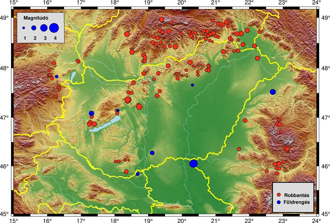
According to the Kövesligethy Radó Seismological Observatory, 141 earth tremors were recorded in the Carpathian Basin in April. In their most recent Facebook post, the observatory noted that 133 of these were due to mining explosions, while only eight were categorised as natural earthquakes.
The most significant quake, which was felt by residents, occurred near Kübekháza, close to the Hungarian–Serbian–Romanian border. This magnitude 3.3 earthquake struck on 12 April 2025 at 7:09 AM local time and was felt in several nearby settlements.
Most of the anthropogenic seismic activity in April was associated with mining operations. The epicentres and magnitudes of both the mining explosions and the earthquakes can be viewed below:
Hungary Is considered seismically safe
Hungary experiences relatively few and generally moderate earthquakes compared to many other European regions. On average, the country records only four to five earthquakes per year with magnitudes ranging from 2.5 to 3.5. These are typically felt only near the epicentre and rarely cause damage. Larger quakes, with magnitudes between 5.5 and 6.0, occur approximately once every 40 to 70 years.
This low seismic activity is largely due to Hungary’s geological and tectonic characteristics. The tectonics of the Carpathian Basin are influenced by the counterclockwise rotation of the Adriatic microplate and north-northeast directed movements. Nevertheless, the overall seismicity in the basin—and particularly in Hungary—is considered moderate.
Earthquake activity in the Carpathian Basin is unevenly distributed. Surrounding mountainous regions, such as the Southern Alps, the North-Western Dinarides, and Romania’s Vrancea Zone, are significantly more active than the interior of the Pannonian Basin, where Hungary is situated.
Within Hungary, seismicity is described as “diffuse,” meaning that most earthquake hypocentres cannot be directly linked to known fault lines. However, there are some areas with higher seismic activity, including the regions around Komárom, Eger, Kecskemét, and Dunaharaszti.
Furthermore, most earthquakes in Hungary occur at shallow depths (6 to 15 km), which limits their potential to cause widespread destruction.
The most destructive earthquakes in Hungary
The most serious earthquake in Hungarian history occurred on 28 July 1763. Its epicentre was near Komárom, and it registered a magnitude of 6.3 on the Richter scale. The most recent significant earthquake took place on 12 January 1956, with its epicentre in Dunaharaszti. This seismic event was triggered by the dislocation of a deep dolomite formation. It resulted in two fatalities, injured 38 people, and damaged 3,144 out of 3,500 buildings.
Read also:
- MAP shows where you should never build anything ever in Hungary – check it out HERE
- Earthquake shakes Hungary – read more in THIS article
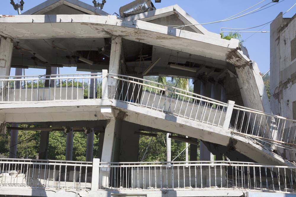
Featured image: depositphotos.com


Let me guess: climate change.
Or Trump.
Or Israel.
But probably climate change.
I’m sure if we stop eating red meat, let in a hundred million Somalis and Malians, and pay higher taxes, everything will be a-okay.