Subscribe to our social channels to get the latest news about Hungary!


When we hear about delivery drones, many of us imagine futuristic scenes: hovering devices dropping off orders directly on balconies or in front of garden gates. However, reality is far more complex. The greatest challenge lies in enabling these devices to navigate often unpredictable urban environments autonomously, safely, and reliably. Researchers at the HUN-REN SZTAKI Systems and Control Lab (SCL) have achieved globally unique results in this area by developing intelligent control solutions that allow drones to react in real time to environmental changes – while consuming minimal energy.
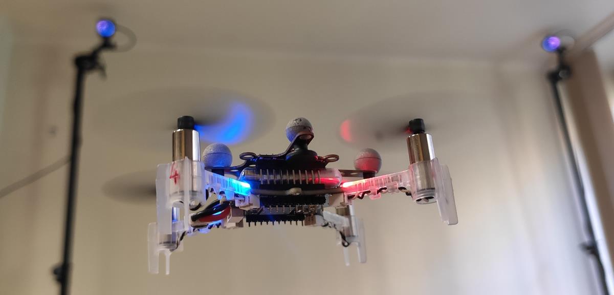
For a drone to fly safely, it must know where it is, what’s around it, and which direction it should take. Pre-programmed flight paths aren’t enough – rapid, improvised adaptation is required. A passing bird, a crane erected for construction, or even a sudden gust of wind can force a change in the planned route. Autonomous drones can rely on a range of sensors for orientation: GPS, accelerometers and gyroscopes, cameras, and LIDAR – which operates similarly to radar, but uses lasers instead of radio waves to map out objects and obstacles in the environment.
This brings us to one of the fundamental dilemmas of the technology: we can equip drones with the best possible sensors, but these are heavy, consume a lot of energy, and complicate the system. Yet a drone can only carry limited weight, and its battery capacity is finite. That’s why smart, efficient control solutions are needed – the goal isn’t to detect and record every bit of data, but to perceive and process just enough to make fast, safe decisions.
Researchers at HUN-REN SZTAKI SCL are developing software systems that can make quick and reliable decisions based on the available data. “These systems not only plan ahead, but constantly re-plan the drone’s movements in response to even the slightest unexpected change,” says Tamás Péni, researcher at SCL. “It’s not enough to know where the obstacle is at a given moment – the drone must also predict how that object might move and adjust its own motion accordingly, maintaining appropriate safety distances.”
To achieve this, flight path planning occurs on two levels. The first is the global level, which functions much like using a GPS to drive toward a destination. Based on available maps and data, the drone preplans its route. However, when an unexpected situation arises – say, an obstacle appears in its path – the drone switches to local-level planning, adjusting its flight path or even rethinking its entire route. If multiple drones are in the air at once, they can also communicate with one another. For example, if one detects a new obstacle – like a crane that wasn’t marked on the map – it can immediately share this information with the others. This way, all drones work from a single, real-time “map” and can safely reach their destinations.
Using the system developed by HUN-REN SZTAKI researchers, a drone can autonomously pick up a package from a moving vehicle with a simple hook and deliver it to another moving vehicle – with centimeter-level precision. Anyone who’s ever played a carnival fishing game knows: this isn’t an easy task, even when controlled by human hands. As of now, only the Hungarian lab has demonstrated the ability to perform this task fully autonomously. “Other international projects use more complex and heavier active gripping mechanisms – such as spikes, electromagnets, or robotic arms – while our solution is not only technically simpler but also more energy-efficient,” says Dr. Roland Tóth, researcher at SCL. “This makes it possible for smaller, cheaper drones to perform complex tasks, and a hook can be attached to almost any package relatively easily.”
Although we often imagine delivery drones operating in urban environments, the first truly functional systems won’t be seen on city streets. The reason is simple: rural, sparsely populated areas or enclosed spaces like warehouses are much more predictable.
Some countries have already launched initial services where drones deliver medication, food, or small packages. However, these operate under stable weather conditions, among low-rise buildings and light air traffic – environments that don’t require high precision or rapid maneuvering.
By contrast, the kind of control that allows a drone to autonomously and safely deliver a package between moving vehicles is not yet part of everyday reality. The real-time, centimeter-accurate motion control needed for such tasks is precisely where the work of HUN-REN SZTAKI researchers is groundbreaking on a global scale.
These developments are best tested in industrial or logistical facilities: in such enclosed spaces, there are no random movements, birds, or pedestrians, and wind or fog doesn’t interfere with flight. These conditions offer the ideal environment for advancing precision autonomous flight, where drones can prove their reliability under real challenges – but in a controlled setting.
Read more news about tech in Hungary
read also:
Space technology manufacturing center to be built in Hungary
International hacktivist group launches three-day cyberattack on Hungarian websites, including Daily News Hungary, details HERE


