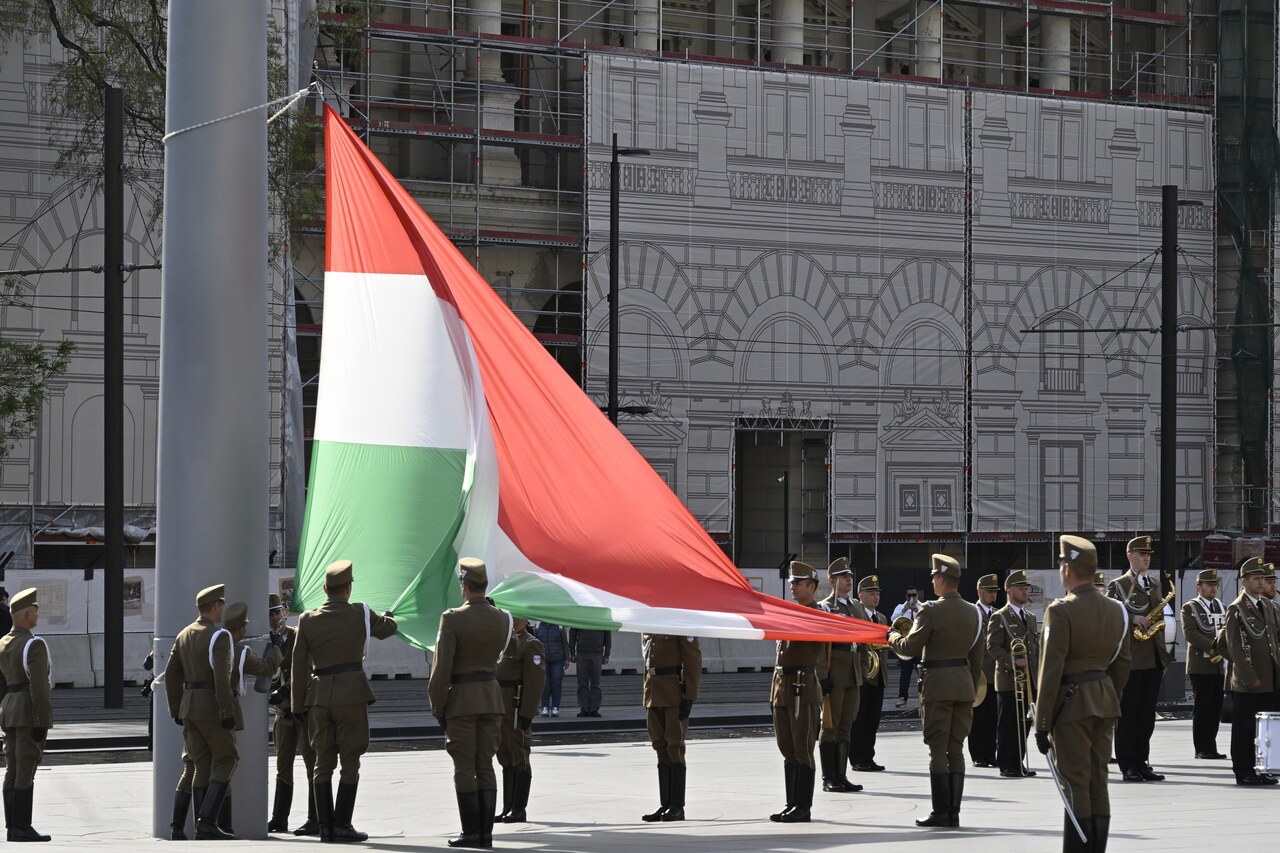
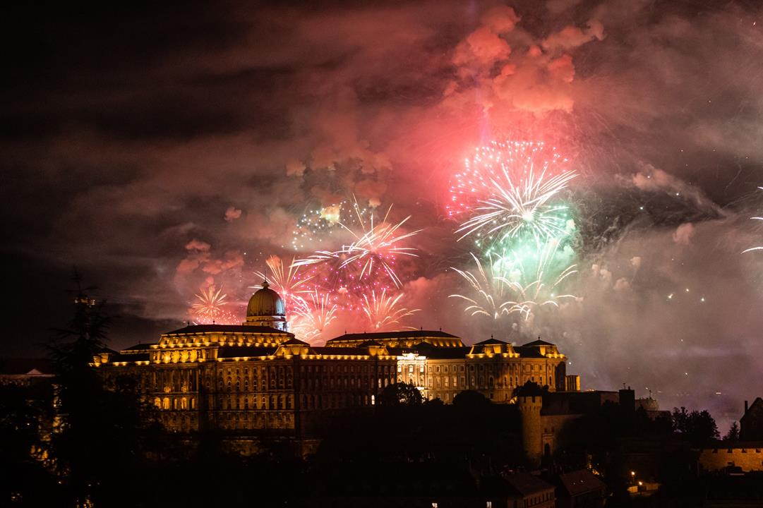
20 August fireworks in Budapest under threat? Cold front, showers approaching

Change language:
As the 20 August fireworks approach, the perennial question arises: what will the weather bring? Will the highlight of Hungary’s national celebration—and the many events planned across the country—go ahead as scheduled? Meteorologists offer reassuring news for the big day, but a cold front is set to bring unsettled conditions in the days that follow—something badly needed, as water levels in Hungary’s rivers have reached record lows.
Hot and calm day ahead
According to HungaroMet’s forecast, today promises true summer heat, with temperatures ranging between 29 and 34 °C (84–93 °F) across the country. Although showers and thunderstorms may develop over northern Transdanubia during the evening, they are unlikely to arrive before midnight, meaning the 20 August fireworks display in Budapest should proceed without disruption.
Cold, rainy weather to follow
A cold front will move across Hungary in the coming days, bringing a shallow cyclone and a fluctuating frontal zone that will sharply reduce temperatures. On Thursday and Friday, this system is expected to deliver showers, thunderstorms, and steady, soaking rainfall—totals may exceed 20 mm, particularly in northern and north-eastern regions.
Behind the front, strong northerly and north-easterly winds will prevail, accompanied by a marked temperature drop. By Friday afternoon, as the skies begin to clear, temperatures will be roughly 10 degrees lower than earlier in the week. Saturday and Sunday should be dry and sunny, though daytime highs will remain below 25 °C (77 °F). Meteorologists forecast a gradual warming trend next week, but a return to full summer heat is considered unlikely in the short term.