Origo.hu writes that the talented Márton Prech came up with another spectacular project: his audience can enjoy aerial panorama photos, which he took with a quadcopter at the height of 100 metres. He created an amazing interactive panorama map of 25 Hungarian places. It is definitely a must see.
You can turn around with the help of arrows or your mouse and zoom on details with the + and – signs or your mouse. You can go on a complete virtual tour, from place to place, by clicking on the arrows. You can also read about the places by clicking on the ‘i’ button.
If you own a gyroscope tablet, you don’t even have to touch the screen as you can take a look around by turning the appliance. And if you have a gyroscope mobile phone, then a new button will appear on the control panel, with which, by putting the phone into the virtual reality helmet, you can actually feel like you’re at the location, thus, you can change direction by turning your head and feel that you’re floating in the air.
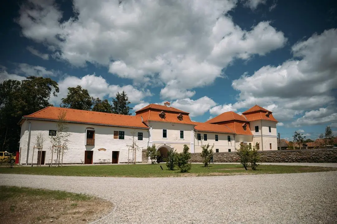
The 25 locations are the following: Arboretum of Agostyán, Arboretum of Alcsút, Lake Arló, Balatongyörök, Lake Derítő of Tata, Dunaalmás, Gerecse, Fishing Lake of Tarján, Kékestető, Kiskunhalas, Monastery of Majk, Fortress of Monostor, Nagyatád, Castle of Sümeg, Mill Valley of Tardos, Tarján, Tata, Thermal Hotel Visegrád, Tihany, Turul Look-out Tower of Tatabánya, Floating Village in Bokod, Lake Velence, Look-out Tower of Vértessomló, Castle of Visegrád, Vitány Castle
Click HERE to enjoy the spectacular panorama.
Copy editor: bm